 software.ursa.nz
Ngaatja
Android client for Native Land's nations API
TāutaInstall
I tō waeaOn your phone
Tikina i F-DroidDownload on F-DroidScan this QR code from F-Droid on your phone.
Ngā hopukatiScreenshots
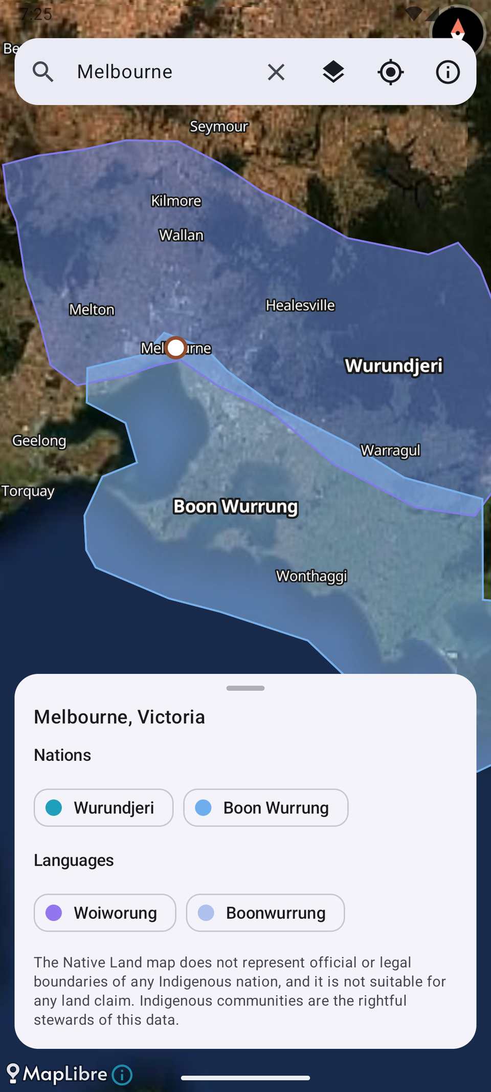
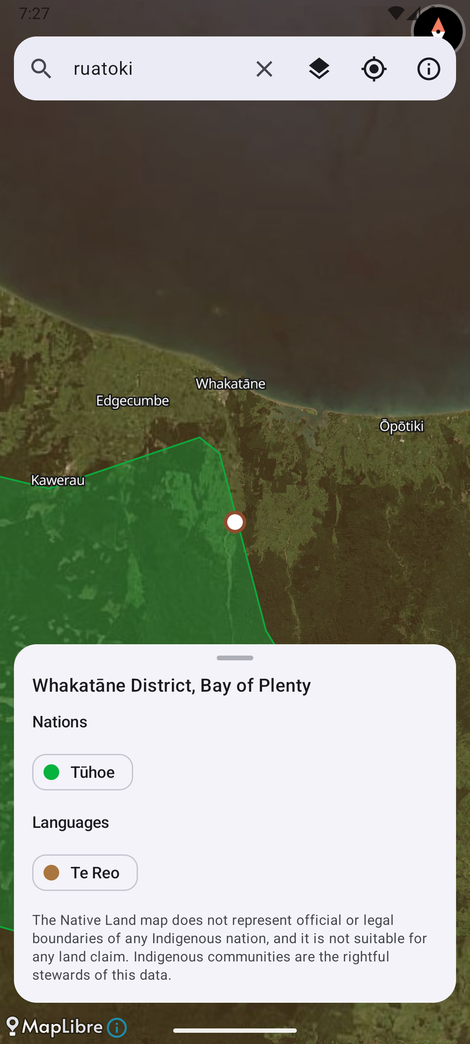
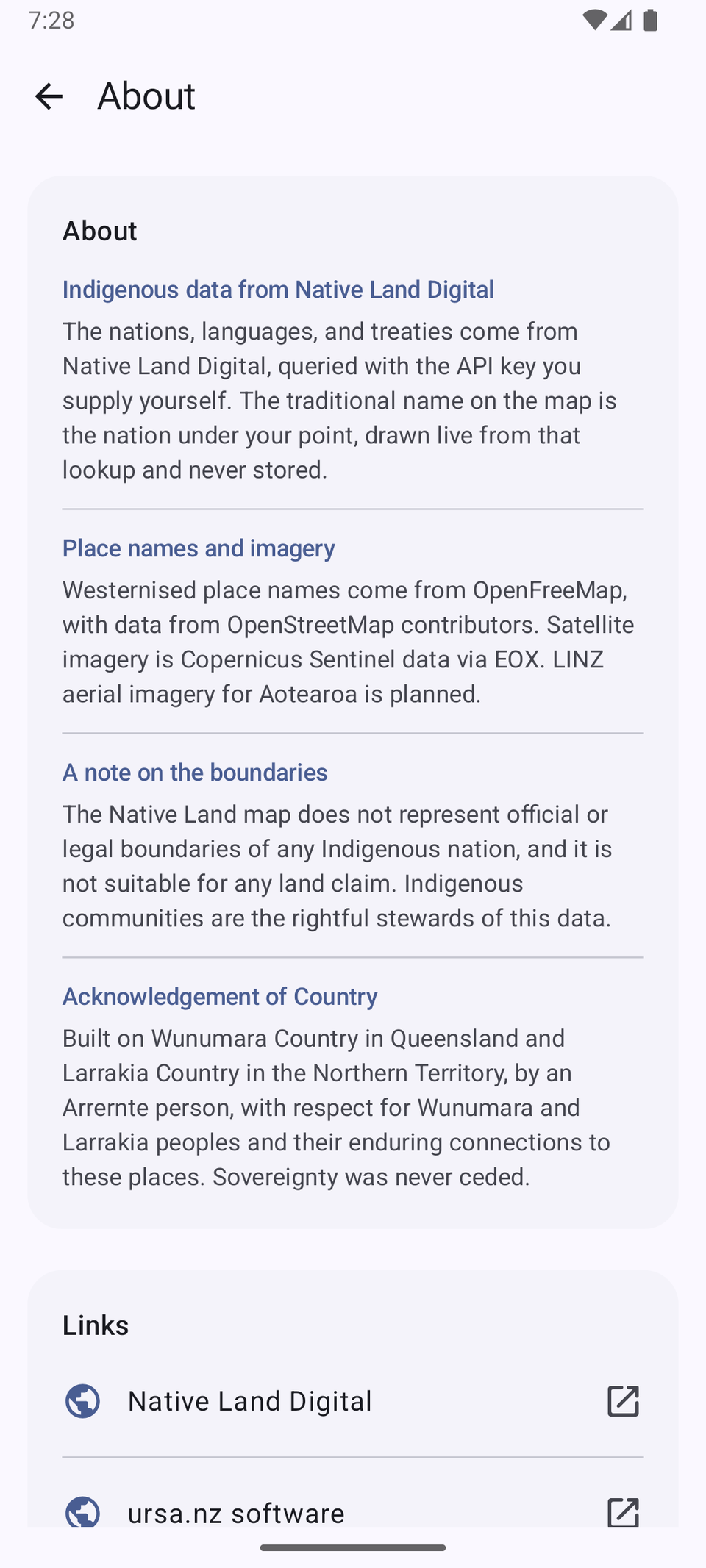
Currently a rough draft and proof of concept only.
Ngaatja names the Indigenous nations, languages, and treaties for where you are standing or for a place you search, across Aotearoa and Australia. It draws them over satellite imagery, so you see the land as land.
The Indigenous data comes from Native Land Digital, queried with a free API key you supply yourself, so each person uses their own. Geocoding and imagery come from OpenStreetMap and open aerial sources, never from Google.
The Native Land map does not represent official or legal boundaries of any Indigenous nation, and it is not suitable for any land claim. Indigenous communities are the rightful stewards of this data.
Free software, licensed under the GPL, version 3 or later.